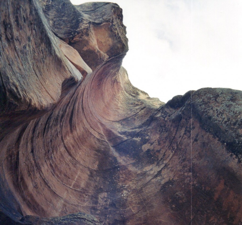
The East Fork of Mt. Baldy is one of my favorite hikes in the White Mountains. Actually, I do have several favorites, but this area is especially dear to me, which I will explain later.
Mt. Baldy is the third highest peak in Arizona and about 40 miles away from the town of Pinetop. This sacred mountain is shared with the White Mountain Apache Indians and sits at 11,200 elevation. The East Fork trail of Mt. Baldy is about 14 miles round trip. So, it is best to start early in the morning and bring rain gear, as the summer monsoon rains always arrive in the early or mid-afternoon.

The trail starts with going through a leaning gate into a field of wildflowers much like a Monet painting. Another 1/2 mile in and the Little Colorado River playfully meanders and glistens in the sun.
Hidden along the Little Colorado river, a small wooden cross painted white with pink flowers is planted securely next to a pine tree. This cross honors my Mom and Dad who passed away in 1997 and 1998. It will always be a comforting spot for me and my family to visit.
Moonscape for Lunch
About halfway up is a lookout point that friends and I fondly call, “Moonscape” or Amberon Point. Great views here of the surrounding valley below.
Almost to the top, on a steep slope lay remnants of small plane. Actually, the wings are the only thing left, but you can’t miss it as it isn’t too far off the trail. At the top there is an awesome view of the White Mountains forests and surrounding landscape.
Travel east on Highway 260 toward Greer, until you reach AZ 273 (going to Sunrise Ski area.) Turn right and continue down this road past Sheep’s Crossing, the West Baldy parking lot and a single land bridge until you see the East Baldy sign on your right.


Beautifully written. Makes me want to hike there. Perhaps someday I’ll be in the area.